When you think of the Global Positioning System (GPS), you probably think of the navigation built into your car or cell phone. But, did you know that GPS powers important elements of your media production workflow?
Hundreds of professions—surveyors, biologists, truckers, pilots, farmers, first responders, and yes, content creators—use GPS to do their jobs. The same technology that detects missiles, flight paths, and your fast food delivery is built right into your camera, geotagging your footage and matching timecode to atomic clocks in orbit out of sight.
How Does GPS Work?
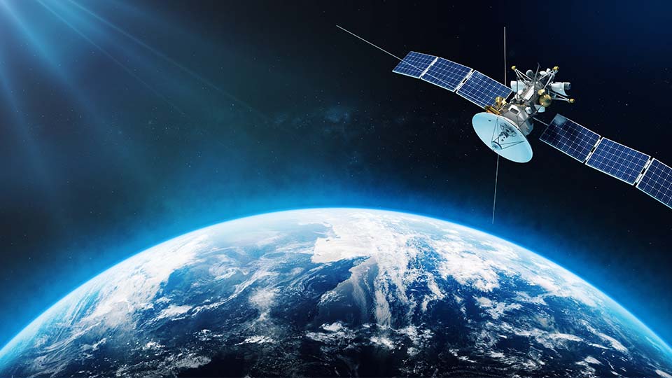
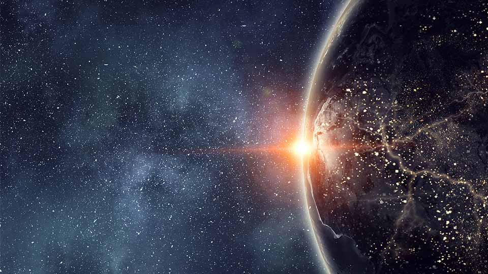
Let’s break down the science behind this omnipresent technology. At any given time, there are about 30 satellites whizzing around Earth, approximately 20,000 km above our heads. These satellites circle the planet twice a day in one of six orbits, transmitting radio signals through space at the speed of light, more than 299,792 km/second.
These satellite broadcasts, or signals—including longitude, latitude, altitude, and time—are picked up by GPS receivers in our Earth-based devices. The receiver records the precise arrival time of these signals from a minimum of four satellites, and calculates the device’s physical distance from each satellite to pinpoint its three-dimensional position on Earth at a specific time, synced to the satellite’s on-board atomic clock.
A Quick History Lesson
Global Navigation Satellite System (GNSS) is the broad term used to encompass any satellite constellation that offers global or regional positioning, navigation, and timing services. Each GNSS is independently managed by its respective country or region: GPS in North America, Galileo in Europe, BeiDou in China, GLONASS in Russia, IRNSS in India, and QZSS in Japan.
The origins of GPS technology are deeply rooted in the space race. The United States Department of Defense tested satellite navigation during the 1960s and 1970s, launching the very first navigation satellite, NAVSTAR, in 1978. This marked the birth of the GPS system, then used exclusively as a military technology.
In the 1980s, GPS expanded outside of military use, improving commercial aircraft navigation and blossoming into every industry imaginable. The first hand-held GPS device entered civilian markets in 1988 with the Magellan NAV 1000, costing around $3,000 for boaters, hikers, and recreational enthusiasts. Soon after, the world’s first GPS-equipped cars hit the road. And by the end of the decade, GPS was making its way into mobile phone devices—paving the way for the handy little GPS tucked inside your pocket.
The Rise of Geotagging
While GPS in cars and cell phones were progressing, photographers and videographers wondered when their beloved cameras would see an upgrade.
That upgrade came in the mid-2000s, when the first digital cameras were outfitted with GPS functionality for geotagging. These high-tech video cameras knew precisely where footage was captured, so long as the satellite connection was maintained. Unfortunately, when shooting indoors the GPS connection was often lost, and the geotag data was lost along with it.
What is Geotagging?
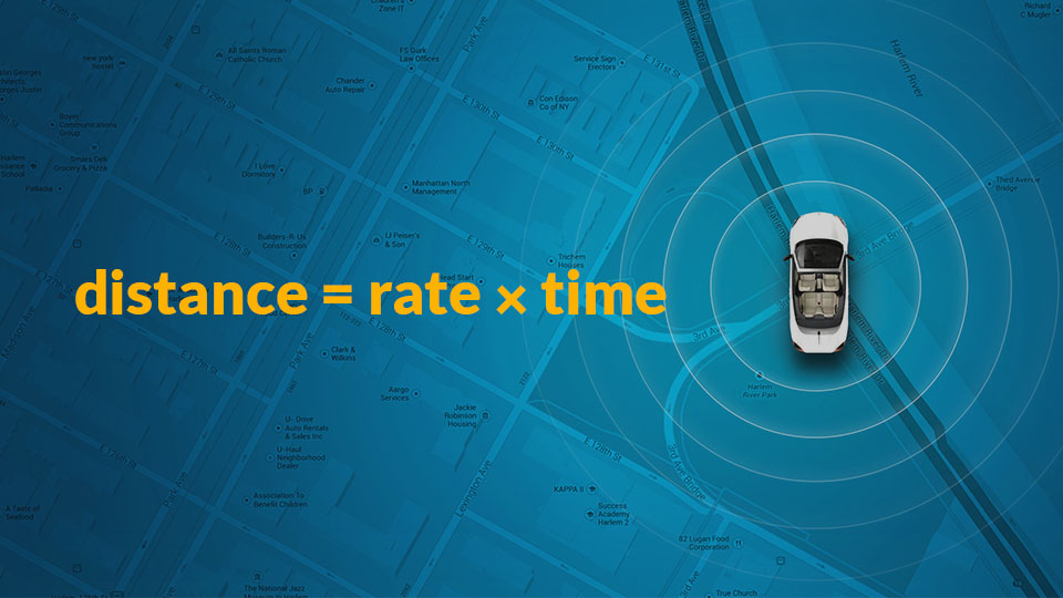
Geotagging is the process of adding geographical identification, such as latitude and longitude coordinates, to media assets. It uses GPS satellite data to determine the device’s precise location, and then embeds this information into the media file as metadata. Using geotags, content creators can easily search and sort through their media collection, making it simpler to find specific photos or videos taken at a particular location. And when it’s easier to find the media you need, it’s easier to create the content you want.
In 2010, Casio solved this problem and released the world’s first compact camera to incorporate autonomic indoor positioning with hybrid GPS, the Exilim EX-H20G. At first glance, the EX-H20G looked like your typical point-and-shoot camera, but it held a secret weapon beneath its unsuspecting frame. It could save the last known satellite location in its memory and utilize data from internal motion sensors to estimate your whereabouts after the GPS signal was lost.
GPS and geotagging have come a long way since, but many camera operators and media professionals don’t see it as a very valuable feature these days. Location data is ubiquitous now, so there are other ways of tracking where footage is captured, and it can eat up more battery life than it’s worth.
The Fourth Dimension: Time
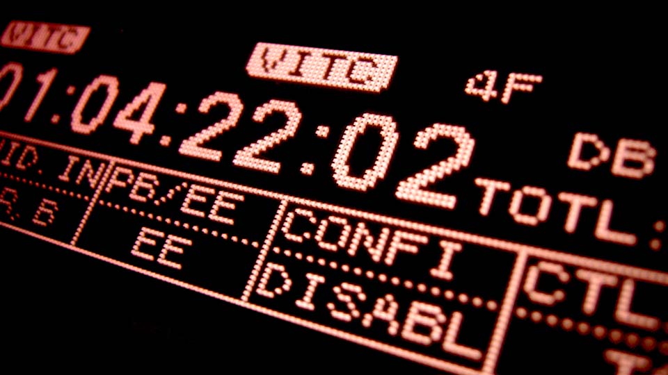
Timecode, however, is an essential feature for content creators, and GPS has a hand in that as well.
In addition to longitude, latitude, and altitude, GPS signals include a fourth dimension: time. The precise time measurements received by GPS in cameras sync to multiple atomic clocks aboard the satellites orbiting far above, ensuring accuracy to 100 billionths of a second.
The importance of accurate timing in broadcast, film, and creative media production cannot be overstated. So even if you don’t care much for location metadata automatically attached to your footage, you can thank your lucky satellites for atomic-clock-accurate timecodes.
Learn more about timecode in video production.
GPS and Beyond
In the ever-changing world of tech, we have to wonder: What new GPS-enabled tech is next?
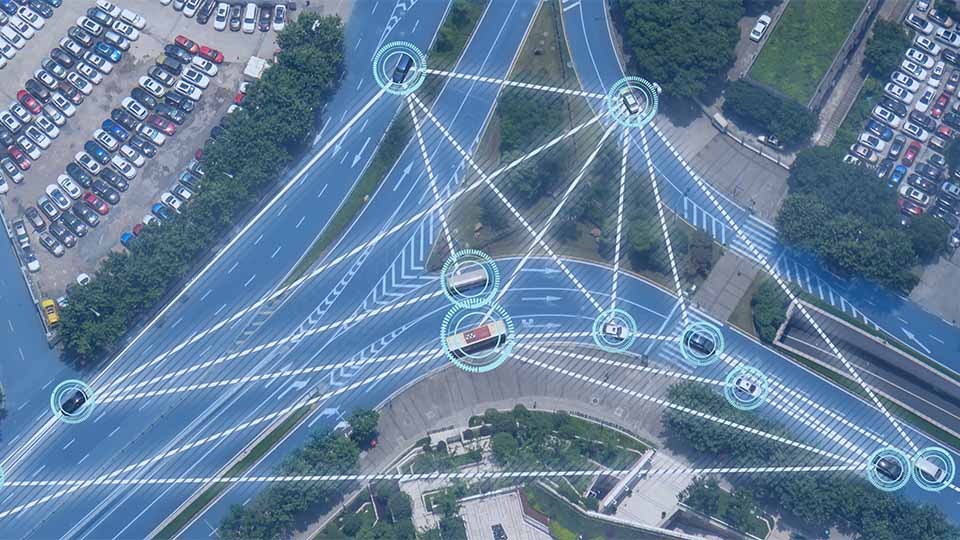
GPS is great technology, but it has its limits overseas. If cameras could tap into GNSS instead of GPS, that could be a game changer for those whose work takes them across the globe or off the grid. Think photojournalists, military, and search and rescue, just to name a few. Nikon announced it was launching the first ever camera equipped with GNSS, but it has yet to hit the market.
By utilizing GNSS instead of relying on a single positioning system like GPS, users could have access to more satellites, which would mean better accuracy. In the rare event of a satellite failure, GNSS receivers could seamlessly switch to signals from alternative systems. And if line of sight is obstructed, no problem, there are other satellites from which to pull. With GNSS, users could pinpoint exactly when and where each image was captured. It doesn’t get any more accurate than that.
Only time will tell if we see another great technological feat like this.
But if we live in a world where cameras can use GPS to compensate for the Earth’s rotation to track stars—we can only imagine that the sky’s the limit.